


Le Mesnil Simon

Eve - Line
User
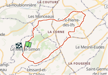

Length
16.8 km

Max alt
176 m

Uphill gradient
229 m
Km-Effort
19.9 km

Min alt
57 m

Downhill gradient
244 m
Boucle
Yes
Creation date :
2024-05-01 06:38:11.14
Updated on :
2024-05-01 10:19:27.17
3h40
Difficulty : Difficult

FREE GPS app for hiking
 SityTrail
IGN / Geographical institutes
SityTrail Plus
The world is yours!
About
Trail Walking of 16.8 km to be discovered at Normandy, Calvados, Le Mesnil-Simon. This trail is proposed by Eve - Line.
Description
départ Mairie
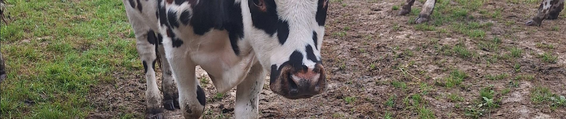
Photos


Positioning
Country:
France
Region :
Normandy
Department/Province :
Calvados
Municipality :
Le Mesnil-Simon
Location:
Unknown
Start:(Dec)
Start:(UTM)
288670 ; 5441564 (31U) N.
Comments